Why Satellite Map Camera Placement Matters for CCTV Planning
When you start planning a CCTV system, the first question is always where to put the cameras. Walk around a site, guess the angles, adjust later. That approach works for a single camera on a porch. For a warehouse, a school, or a public square, guesswork costs time and money. That is where satellite map camera placement comes in. It lets you position cameras on a digital map before you touch a ladder or run a single cable.
I have used satellite imagery for site surveys for years, and the difference between a plan made on the ground and one made on a map is smaller than most people think. The real skill is knowing what the map can and cannot tell you. Satellite map camera placement is not about dropping pins on a picture. It is about understanding the relationships between camera height, field of view, and the real-world distances that appear as pixels on your screen.
What Satellite Map Camera Placement Actually Means
Satellite map camera placement means using a satellite or aerial image of your site as a base layer, then positioning virtual cameras on that image to simulate coverage. The map gives you a bird's-eye view. You can identify building corners, entry points, and blind spots without leaving your desk. The camera icons you place on the map carry data like height, lens focal length, and orientation. The software then calculates what the camera sees.
This is not just about drawing polygons. Good placement accounts for the fact that a satellite image is a top-down view. The camera sees the world from a different perspective. You need to tilt the virtual camera, adjust its height, and account for obstructions that the map might hide, like overhanging trees or roof edges. The best satellite map camera placement tools let you adjust these parameters and preview the camera FOV in a 3D-like overlay.
Choosing the Right Map Source
Not all satellite imagery is the same. The source you pick affects the accuracy of your placement. Google Maps offers high-resolution imagery for most urban areas, but its update frequency varies. Some places get new images every few weeks. Others are years old. A map that shows a building that has since been demolished will lead to a bad plan.
OpenStreetMap is not a satellite imagery provider, but it is a vital companion. Its map data includes building footprints, road names, and land use tags. When you combine OpenStreetMap vector data with a satellite image, you get a richer base for placement. Bing Maps also provides good satellite coverage, often with different update schedules than Google. I keep both open when I plan. If one source shows a shadow or a cloud, the other might show the ground clearly.
For professional work, Maxar imagery is the standard. Maxar is a commercial satellite imagery provider that offers very high resolution, often 30 centimeters per pixel or better. Their images are also georeferenced with high GPS accuracy, which matters when you need to place a camera within a meter of its real position. Free imagery from Google or Bing is usually good enough for initial planning, but for a final design, especially one that will be handed to an installer, Maxar or a similar source is better.
Working with GIS Coordinates and Geotagging
Every camera you place on a satellite map has a location. That location is a pair of GIS coordinates, typically latitude and longitude. If your planning tool exports those coordinates, you can load them into a GPS device or a surveying app and walk directly to the spot. That is geotagging in reverse. Instead of tagging a photo with its location, you are tagging a location with a planned camera.
I once had to place twenty cameras on a university campus. The satellite map showed the roofs and walkways clearly. I placed each camera, noted its height and orientation, and exported the coordinates. On site, I used a phone with a GPS app to find each point. The first three were exactly where the map said they would be. The fourth was off by five meters because the satellite image had a slight parallax error from the angle of the satellite at capture time. That taught me to always check the map scale and look for signs of parallax, like buildings that lean away from the image center.
Parallax Error and Ground Control Points
Parallax error is the killer of precision in satellite map camera placement. It happens because a satellite image is not a true orthophoto. The camera on the satellite looks at an angle, so objects that are tall, like buildings or towers, appear displaced from their true position. The displacement is worse near the edges of the image.
To fix this, you need ground control points. A ground control point is a location on the image whose real-world coordinates you know exactly, usually from a GPS survey or a known landmark. You tell the software that this pixel equals this coordinate. The software then warps the image to remove the parallax. ArcGIS and QGIS both have tools for this. If you are using a simpler tool like CCTVplanner, you might not have that option, but you can still compensate by using a map source that provides orthorectified imagery. Maxar and many government Earth observation programs deliver orthorectified products.
Even with good imagery, remember that a satellite image is a snapshot. It shows one moment in time and one angle of light. Shadows can hide objects, and bright roofs can wash out detail. I always combine the map with a site walkthrough if possible. The map gets you 90% of the way. The walkthrough catches the rest.
Camera FOV and Map Overlay
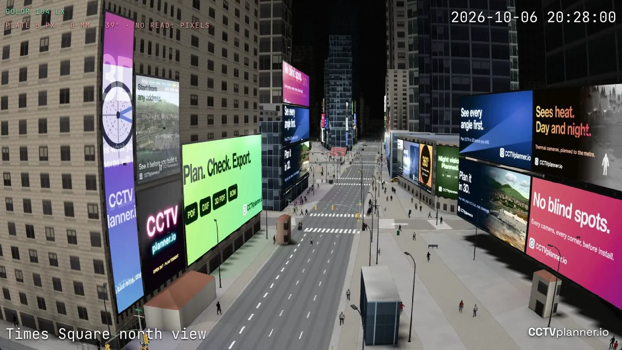
The most useful feature of satellite map camera placement is the ability to see the camera FOV drawn as a cone or a wedge on the map. That overlay shows you exactly what the camera will see. You can adjust the lens, the aim, and the height, and the wedge changes in real time. This is photogrammetry in reverse. Instead of measuring the world from photos, you are predicting photos from the world.
Map overlay also helps with license plate recognition. If you need to read a license plate at a gate, the camera must be placed within a certain distance and angle. The map overlay shows you the zone where the plate will be readable. You can move the camera until that zone covers the gate. This is far more precise than eyeballing it from a ladder.
Resolution bandwidth is another factor. A camera's resolution determines how far away a plate or a face can be identified. The map overlay can show a circle or a range ring that represents the identification distance. If the plate zone falls outside that ring, you need a camera with a longer lens or a higher resolution.
Practical Steps for a Real Site
Let me walk through a typical placement. I have a parking lot that needs coverage. I open my planning tool and choose a satellite imagery provider. I zoom in until the map scale shows about 1:500. I place a camera at a light pole near the center of the lot. I set its height to 4 meters and its lens to 6 mm. The camera FOV overlay shows a wedge that covers about half the lot. I need two more cameras to cover the rest.
I place the second camera near the entrance. Its wedge covers the gate and the first row of cars. The third camera goes near the back corner. The wedges overlap slightly. That is fine. Overlap gives redundancy and reduces blind spots. I export the plan, which includes the GIS coordinates of each camera and its settings. On site, I use the coordinates to mark the pole locations. The installation is fast because everything was pre-planned.
Tools and Trade-offs
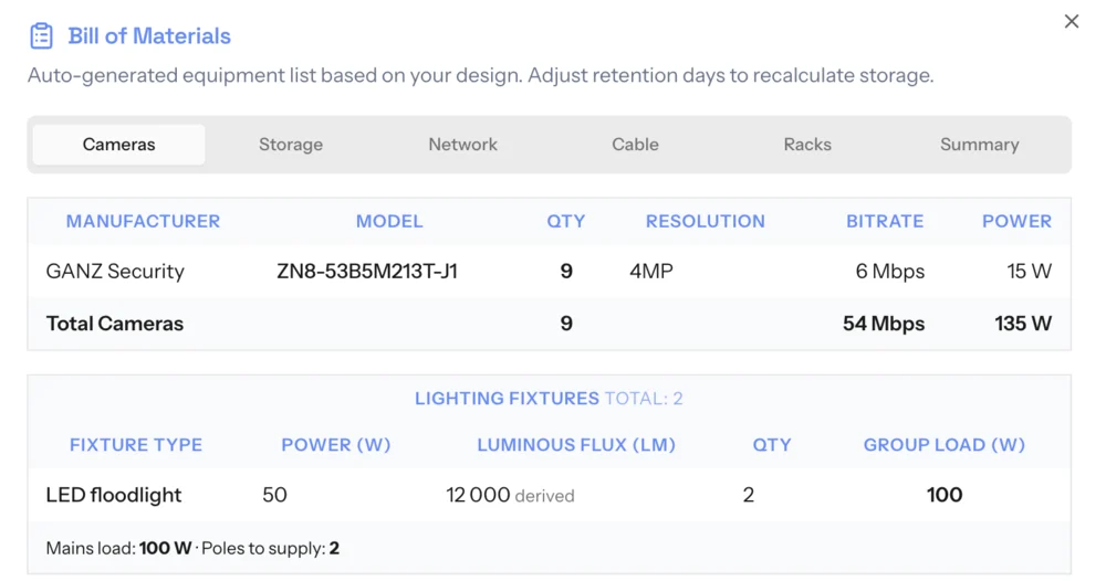
There are many tools for satellite map camera placement. ArcGIS and QGIS are powerful but have a steep learning curve. They are best for large projects that need detailed GIS analysis. CCTVplanner is simpler and browser-based, which makes it accessible for everyday commercial work. It uses map data from sources like OpenStreetMap and satellite imagery from providers that are included in the platform. The key is to choose a tool that lets you adjust the camera parameters and see the FOV overlay on a map that is current and accurate.

Do not expect perfection from a satellite image. The Earth observation industry improves every year, but a map is still a model. Trees grow, buildings get repainted, and shadows shift with the seasons. Use the map as a guide, not a substitute for being there. If you can combine satellite map camera placement with a physical site survey, you will catch the details that the map missed.
Satellite map camera placement is not a magic bullet. It is a method that saves time and reduces errors when used correctly. The key is to understand the limitations of the imagery, the importance of GPS accuracy, and the need for ground truth. With that understanding, you can place cameras on a map with confidence and build a system that works the first time.